
Route of flight was from Palo Alto Airport (PAO), over Stanford University and out to the coast, then down past Santa Cruz, over Watsonville (WVI) and South Coundy (Q99), and then up the valley back to Palo Alto.
Traffic, 3 o'clock, opposite direction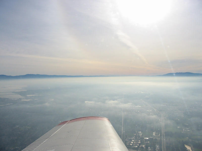 Morning fog
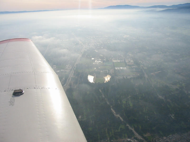 Stanford Stadium under the fog
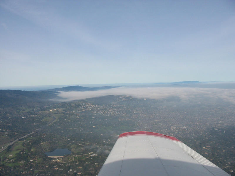 Crystal Springs Reservoir is under the clouds
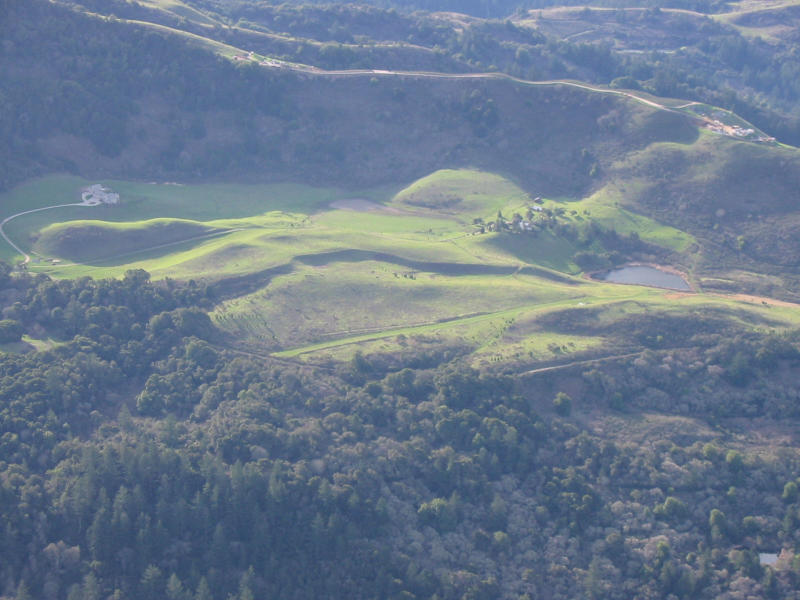 Uncharted private airstrip
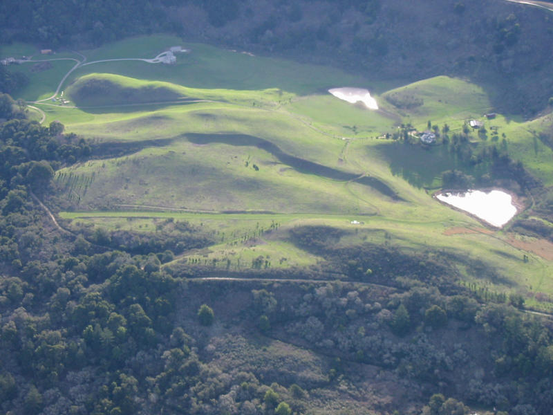 Uncharted private airstrip
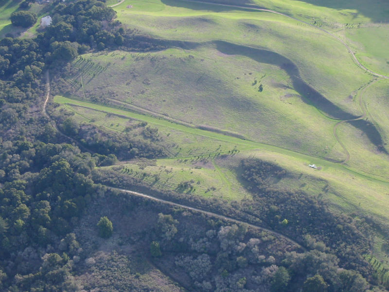 Uncharted private airstrip
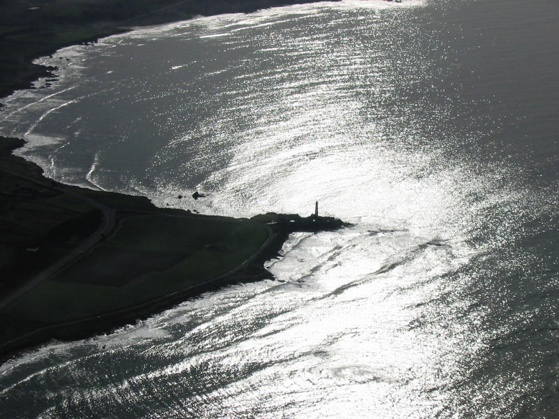 Pigeon Point Lighthouse
 Pigeon Point Lighthouse
 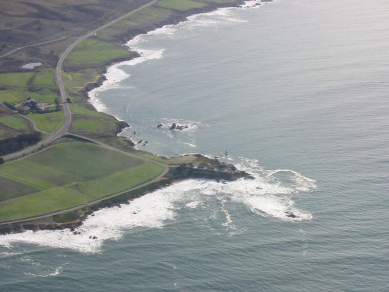 Pigeon Point Lighthouse
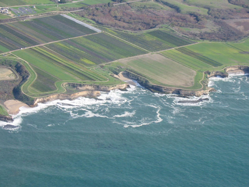
 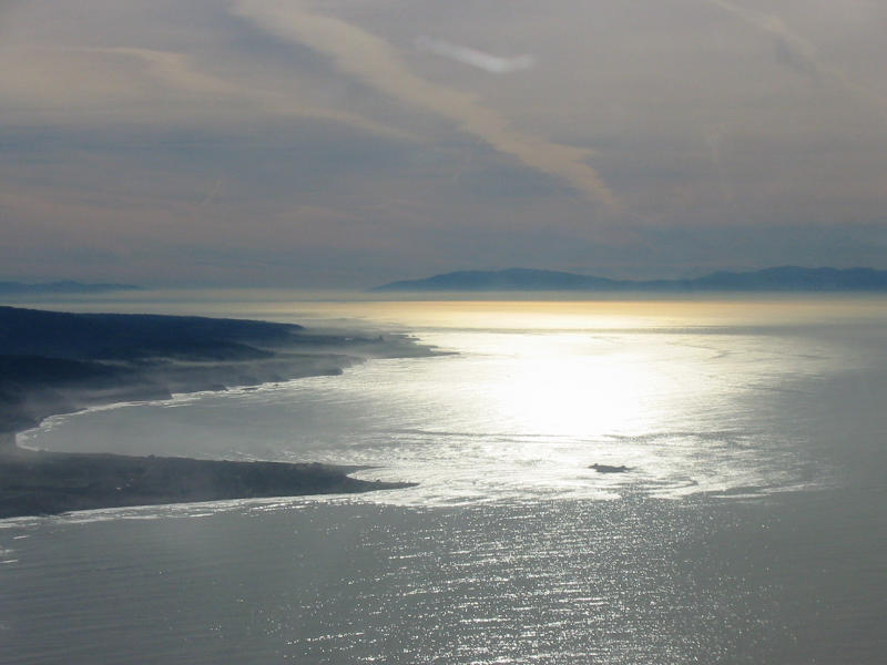 Ańo Nuevo State Reserve
 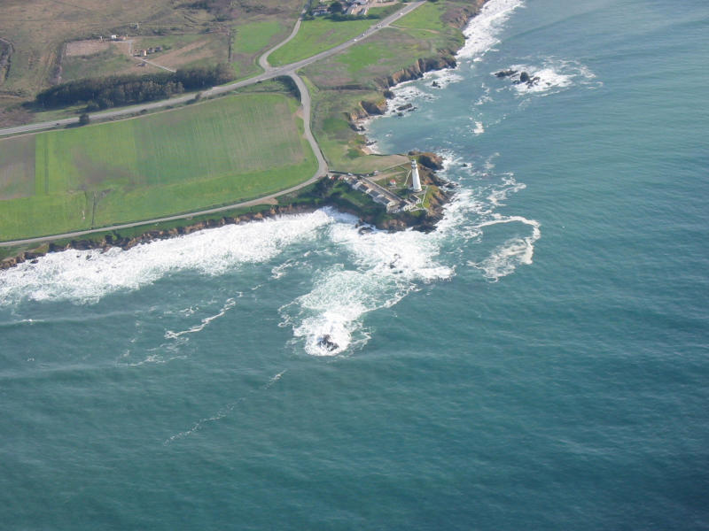 Pigeon Point Lighthouse
  Pigeon Point Lighthouse

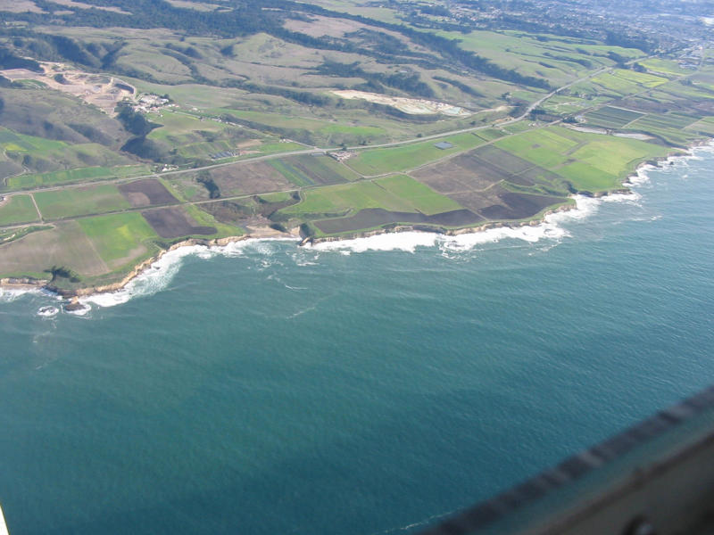
 Santa Cruz
 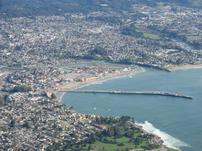 Santa Cruz
  Santa Cruz
 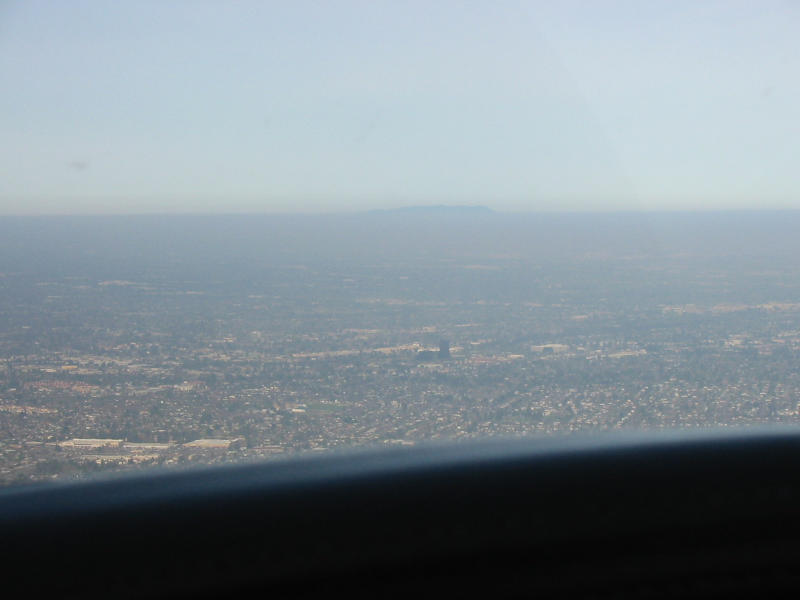 San José/Campell area. The large black building in the center is the Pruneyard Towers, a common landmark used by Norcal Approach.
  Another picture of the Pruneyard
 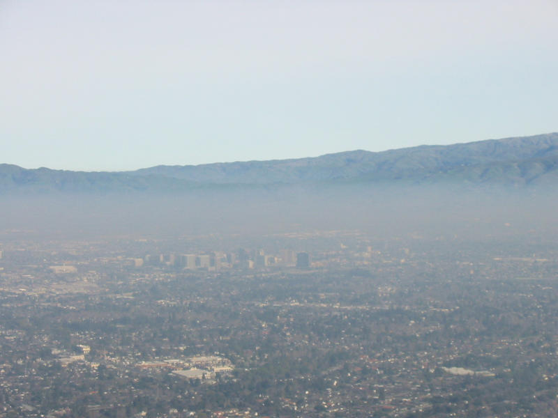 Downtown San José
 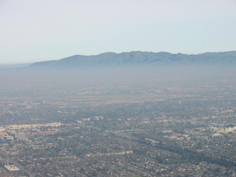 San José International Airport (large flat area in the middle of the shot)
  My old neighborhood
 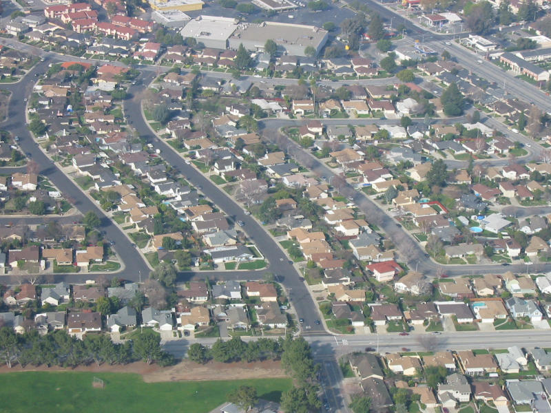 My old street
 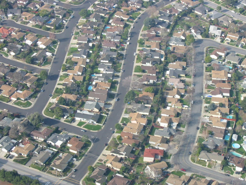 My old house
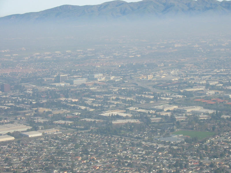 Santa Clara (the large white buildings in the center left are Intel)
 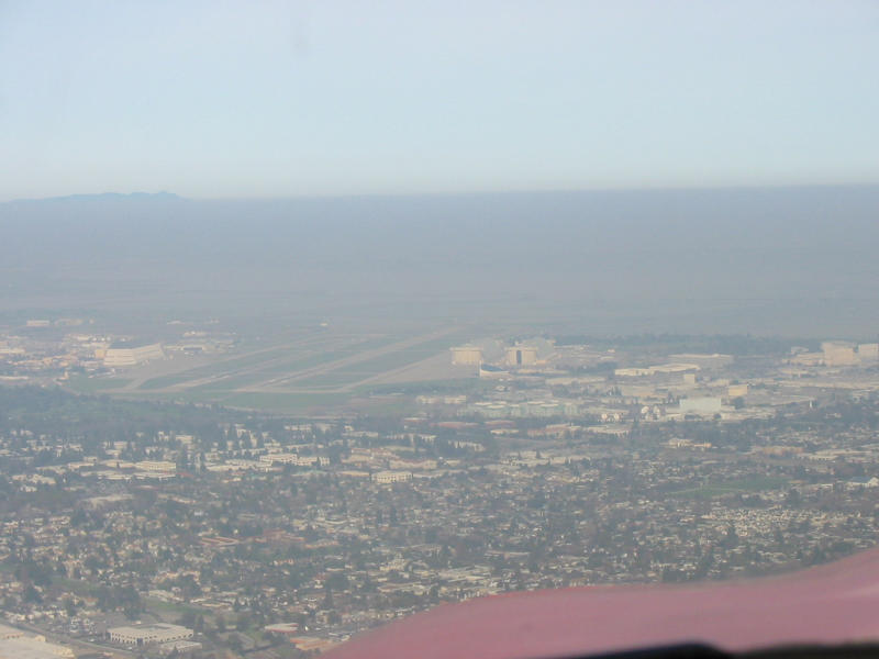 Moffett Field (NUQ)
 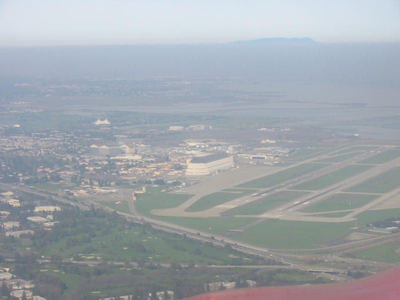 Moffett Field (NUQ)
  SGI
SGI 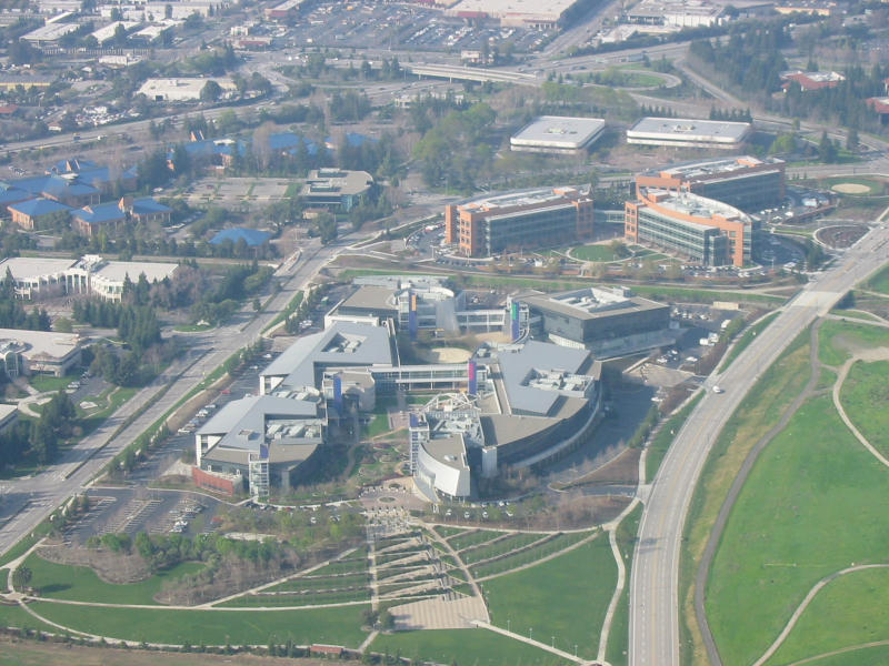 SGI
SGI 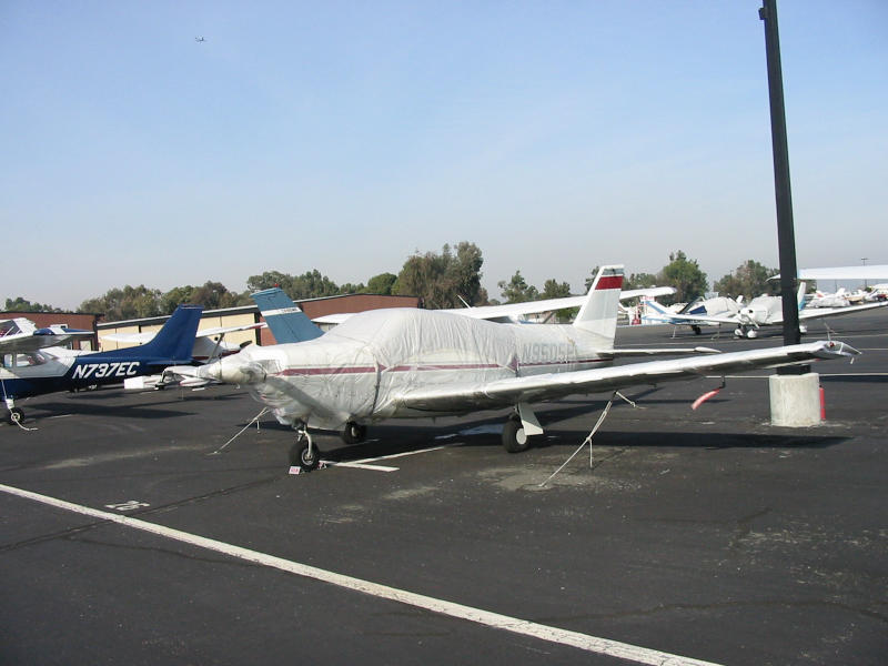 Shrink wrapped airplane. Why?
 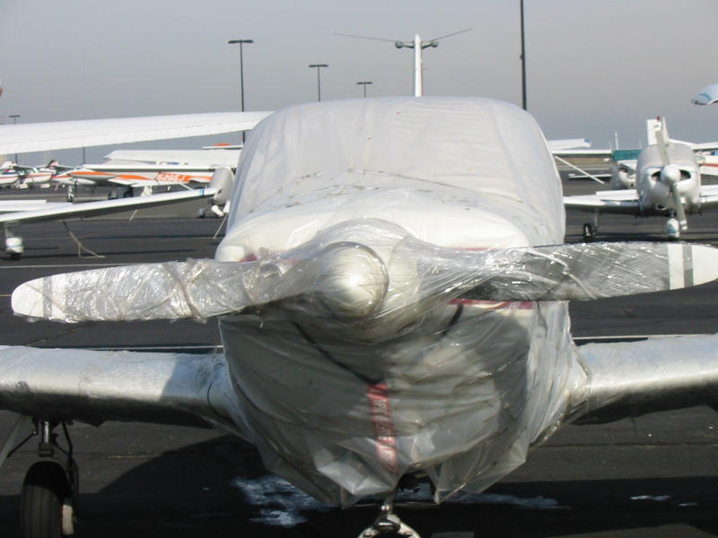 Shrink wrapped airplane. Why?